On May 25th at 12:30 the next Seminar of the Seminar Series 'Forward past, what's next?' will take place.
On May's Seminar we will get to know the main achievements and outcomes of projects ALTITUD3 (by Sandra Heleno) and SHAZAM (by João Fonseca).
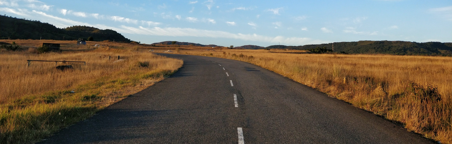
Project ALTITUD3 aimed the 3D modelling of terrain and vegetation structure with the use of small unmanned aerial vehicles (UAV) used as LiDAR and photogrammetric platforms to provide high resolution representations of the terrain surface. An innovative aspect of the project was the incorporation of artificial intelligence methods into the processing, to better distinguish diverse parts of the modeled surface, such as vegetation and terrain, improving the applicability of the technology.
Project SHAZAM addressed the intraplate seismicity of the Gulf of Guinea as a mean to investigate the role of asthenospheric dynamics in crustal deformation. A regional probabilistic seismic hazard assessment was conducted.
Attendance is free, but registration is mandatory until May 15th, 2023. Registration allows access to lunch box.
You can find the complete programme of the CERENA's Seminar Series ‘Forward past, what’s next?’ Here